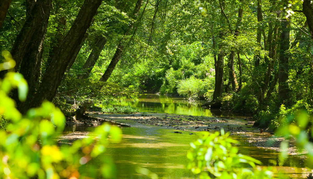
Precision monitoring aids decision makers and stakeholders in protecting key watersheds
Nutrient pollution, biodiversity losses and weather variability pose extraordinary challenges for the sustainability of natural ecosystems and the species that inhabit them. Land-grant universities are developing and applying emerging technologies that can help to more efficiently, accurately and safely monitor, measure and precisely manage these systems with minimal environmental impact.
Here are a few examples of that work:
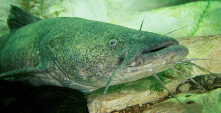
- To better understand how nutrients such as nitrogen, phosphorous and other contaminants can move through complex watersheds and pollute waterways, researchers at the University of Kentucky developed advanced computer models to simulate these processes. They combined data from both artificial intelligence and physical methods to identify key delivery pathways to critical water bodies and provide information that watershed managers and policymakers can use to design targeted interventions.
Kentucky Agricultural Experiment Station; Hatch Multistate. See full statement. - Researchers in Ohio partnered with Montgomery County Environmental Services to develop and use innovative technologies to monitor and mitigate excess nutrient load into watersheds. They installed smart flow sensors aided by hydraulic modeling to monitor runoff infiltration from rural and urban interfaces into sewer systems, providing recommendations to the county on areas where pipe rehabilitation was needed.
Central State University Research; Evans-Alan. See full statement. - Wisconsin Extension professionals launched a high-tech buoy that allows researchers to continuously monitor and track conditions at the confluence of the St. Louis River and Lake Superior. The high-quality data collected lets land managers, scientists and local officials know when water may not be safe for recreation and may help identify markers of algae blooms that can cause damage to human health.
University of Wisconsin Extension; Other. See full statement. - Unpredictable precipitation patterns can pose challenges to farmers who are trying to balance irrigation during drier periods and the risk of disease prevalence that can be triggered by over-irrigation. Researchers in Michigan developed low-cost sensors that measure soil moisture, leaf wetness and other environmental conditions to generate precise irrigation recommendations through an easy-to-use phone application. Compared to the growers’ typical irrigation schedule, the system boosted profits, improved yields and reduced energy costs associated with pumping water.
AgBioResearch; Other USDA Competitive. See full statement. - A Mississippi Extension program addresses the decline of the Mississippi Valley Alluvial Aquifer by providing soil moisture sensors and training to farmers, resulting in improved irrigation practices over 80,000 acres. By significantly reducing water usage in agriculture, the program safeguards this vital water resource for future generations and helps mitigate the impacts of drought and water scarcity.
Mississippi State University Extension Service; Smith-Lever (3b&c). See full statement. - Extension professionals in Nebraska developed the Testing Ag Performance Solutions (TAPS) program to foster innovation and collaboration in agriculture. Through the program, 86% of participants adopted innovative management strategies and 75% integrated new technologies into their operations. By empowering farmers to adopt advanced technologies and refine their management strategies and share knowledge with peers, TAPS promotes economic growth, resource conservation and sustainable farming.
University of Nebraska-Lincoln Extension; Other. See full statement.
Photo courtesy of Kentucky Agricultural Experiment Station.