Using remote imaging to aid management decisions
Alaska’s 126 million acres of forested land provide critical ecosystem services that benefit local and global communities. With persistent warming, inconsistent participation, insect pests and intensifying wildfires, Alaska’s forests are facing serious threats to biodiversity as well as local communities and economies.
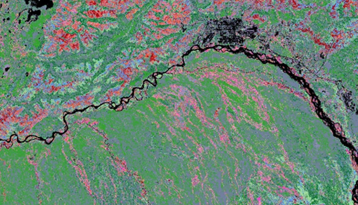
University of Alaska Fairbanks researchers have developed processes that allow them to visually and spectrally observe changes in boreal forest vegetation. Their analyses allow them to identify long-term changes in biomass, productivity and response to environmental stressors.
These remotely collected data are used to generate map products that can be used by landowners, land managers, fire managers, the timber industry, project partners and the public. The maps are helping users to better understand the influence of climate variability on statewide forest health, forest damage and forest change at an annual time scale.
These products will inform policies for forest health protection and help local and federal agencies effectively manage dangerous fires that risk the health and homes of Alaskans.
View the full statement on the NIDB.
Project supported by McIntire-Stennis funds. Photo courtesy of University of Alaska Fairbanks Cooperative Extension Service.